

DISCOVER
OUR PHILOSOPHY
GeoDelta Labs is a leading geospatial education platform trusted by over 175,000 learners worldwide. We create high-impact GIS, remote sensing, and spatial data analytics training used by students, professionals, and researchers.
Our Focus is Simple: remove unnecessary complexity, build strong foundations using clear analogies, and guide learners through a structured pathway to solve real-world geospatial problems.
EXPLORE
WHAT YOU CAN LEARN
GeoDelta Labs covers a broad and carefully structured range of topics across the geospatial domain. Our learning content spans GIS and spatial analysis, remote sensing and satellite imagery, cartography and professional map design, and geospatial data analytics using modern tools and workflows.
We also explore how emerging technologies such as artificial intelligence and data-driven methods can be applied to solve real-world geospatial problems, always with a focus on clarity, practical understanding, and real application.
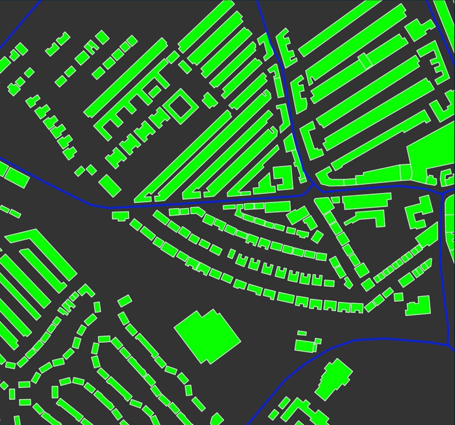
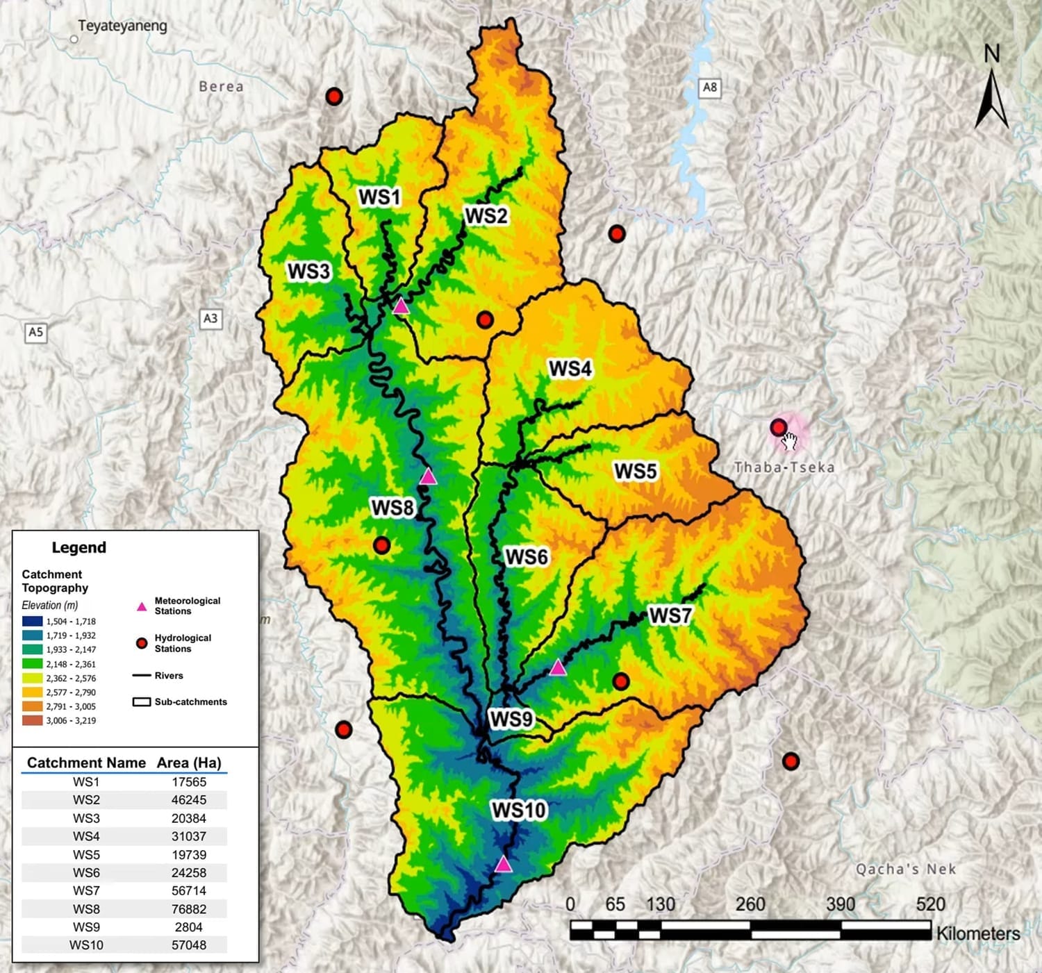
GIS & Spatial Analysis
Learn core GIS concepts and advanced spatial analysis using
industry-standard tools such as QGIS and ArcGIS
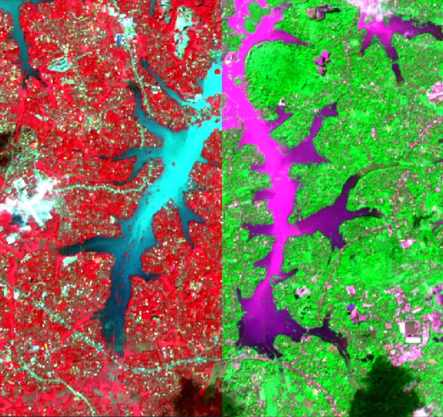
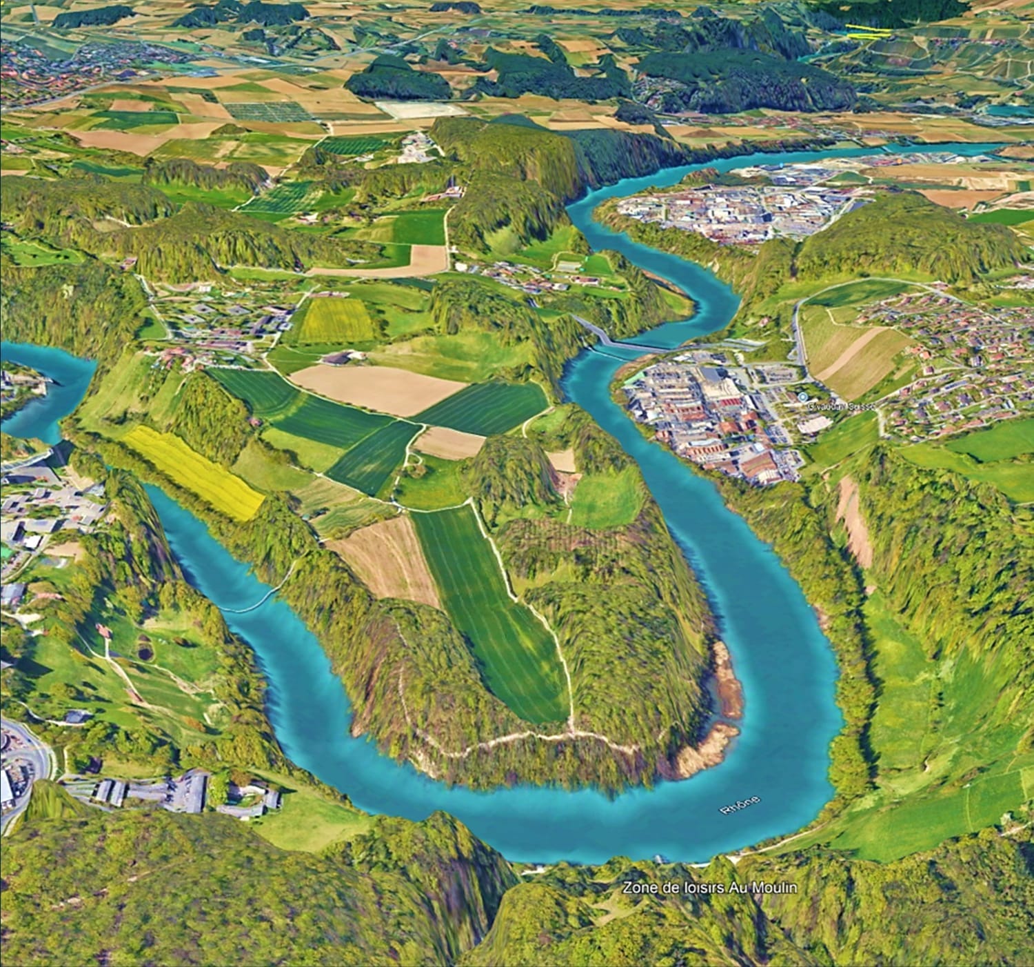
Remote Sensing & Satellite Imagery
Understand and analyze multispectral satellite imagery for land cover,
environmental, and spatial studies
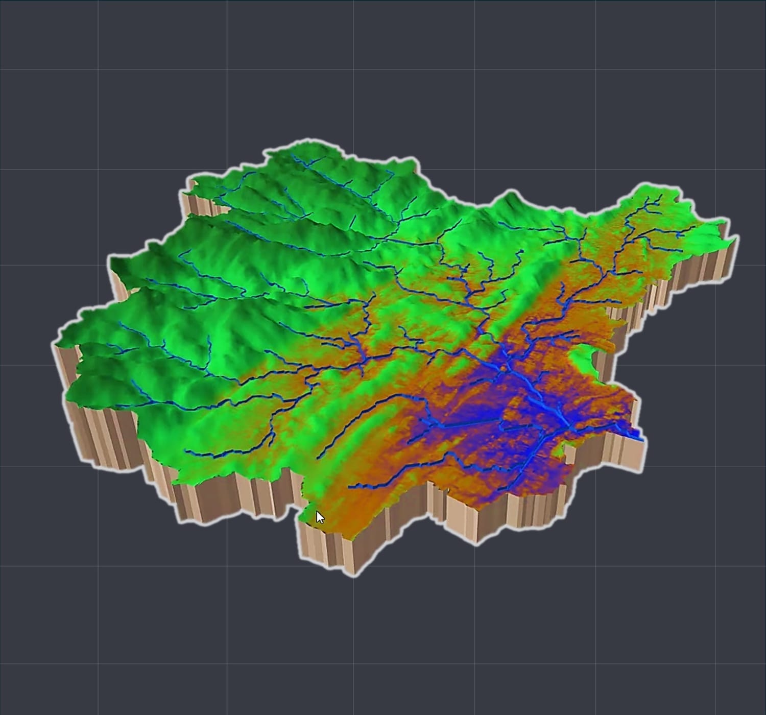
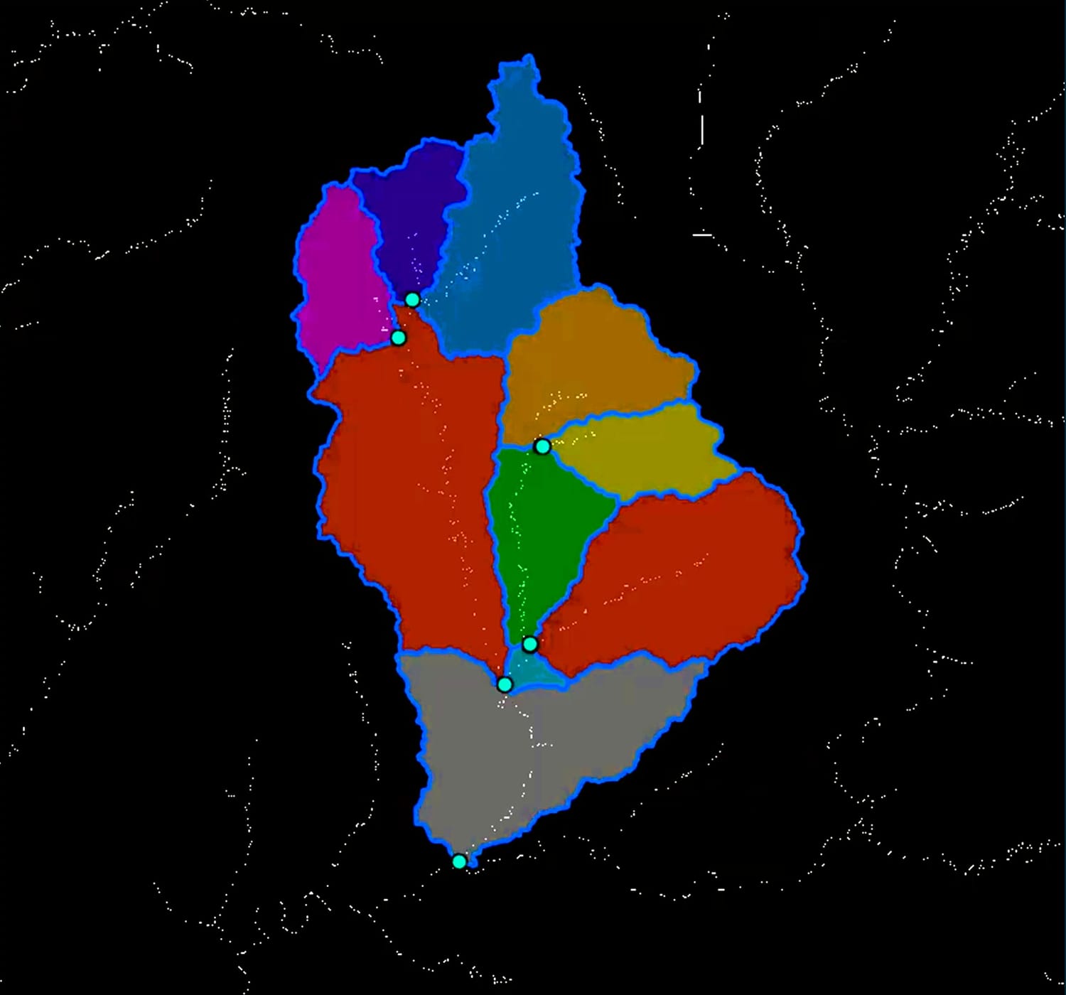
Terrain & Elevation Analysis
Perform terrain analysis, slope and aspect mapping, and elevation-based
studies using real-world datasets
Geospatial Visualization & Exploration
Explore spatial data, visualize terrain, and analyze locations using tools such as
Google Earth Pro for exploration, and planning
Cartography & Map Design
Design clean, professional maps that communicate spatial
insights clearly and effectively
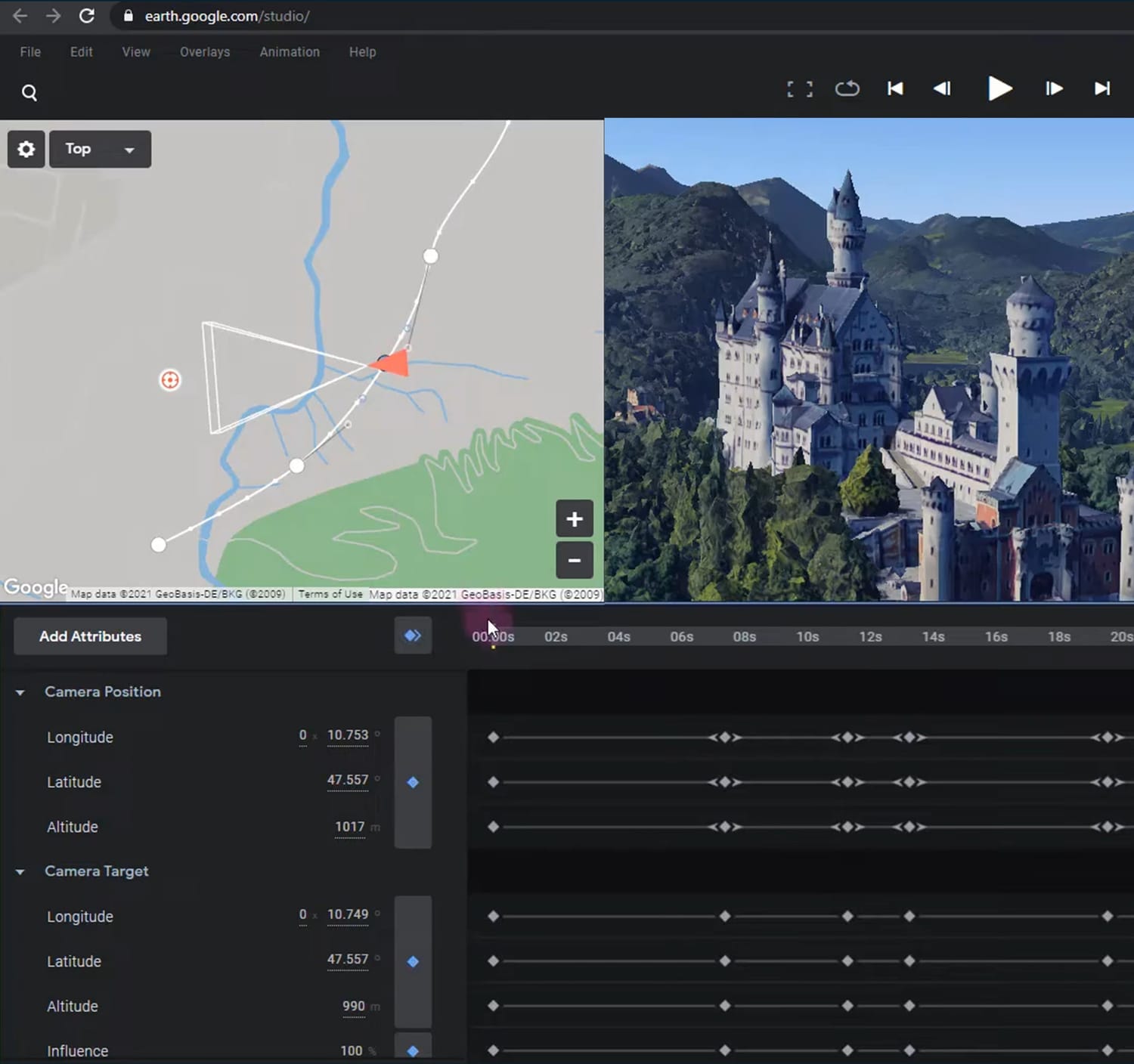
Geospatial Animation & Visual Storytelling
Create cinematic geospatial animations and dynamic visual stories using tools like Google Earth Studio for communication, presentations, and storytelling
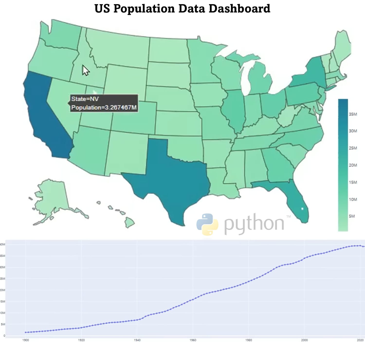
Geospatial Data Analytics
Analyze, process, and visualize spatial datasets using structured
analytical workflows using Python
Real-World GIS Projects
Work through practical, real-world examples that mirror
professional geospatial tasks
TOOLS
WE SPECIALIZE IN

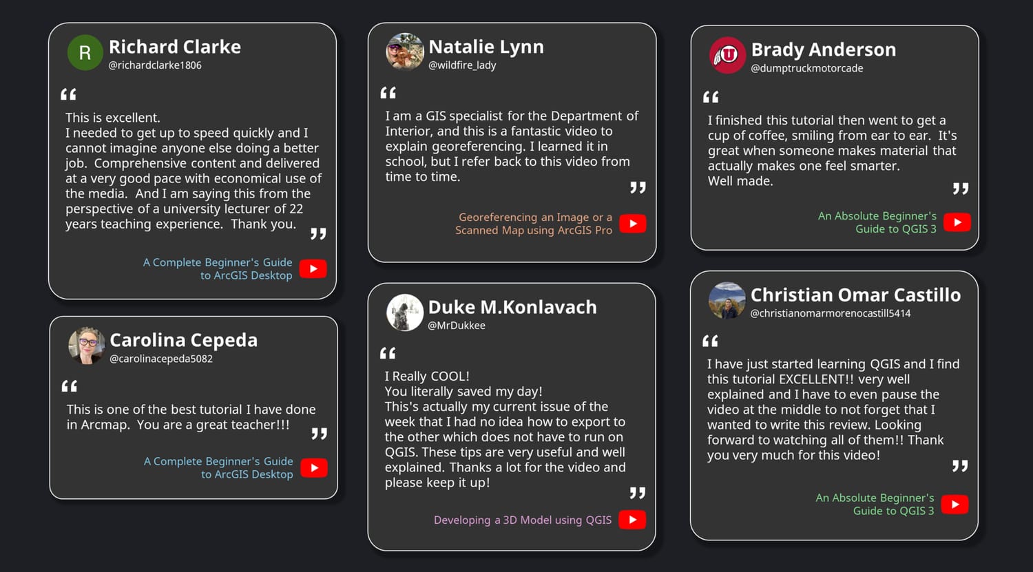
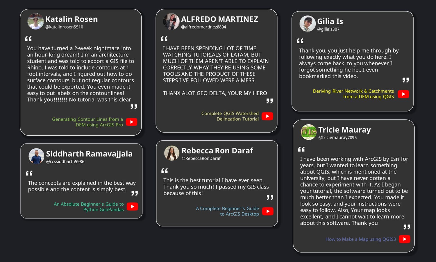
TESTIMONIALS
WHAT OUR LEARNERS SAY
EXPLORE
FEATURED COURSES
GeoDelta Labs courses are carefully designed for students and professionals who want to build strong geospatial skills through a clear, structured learning pathway, without spending countless hours searching for fragmented tutorials.
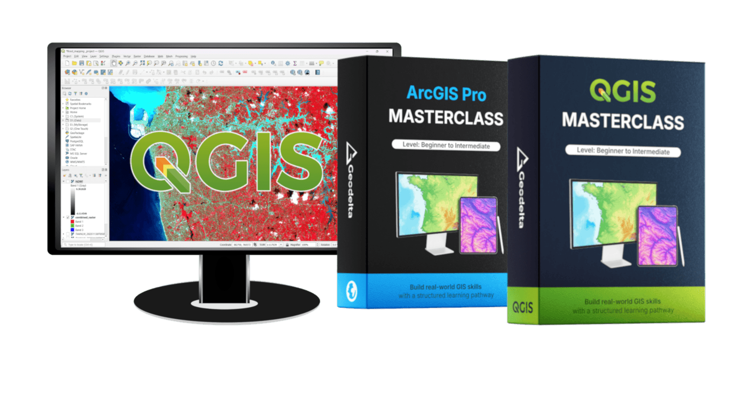
ArcGIS Pro Masterclass
Level: Beginner to Intermediate
STAY CONNECTED
JOIN OUR COMMUNITY
Stay up to date with the latest industry news and insights from GeoDelta Labs
All things geospatial, with a structured learning pathway
CONTACT
© 2026 GeoDelta Labs. All Rights Reserved. Operated by WONGSIRIDECHATHON COMPANY LIMITED